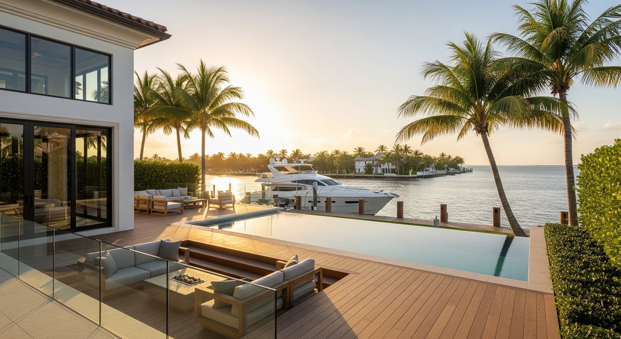
Shopping for a waterfront home in Boca Raton so your boat can live out back? The kitchen and views might wow you, but the dock and waterway details determine whether your vessel actually fits and functions. If you plan to buy in Lake Rogers, Blue Inlet, or Harbour East, learning a few boating terms will save you time, money, and frustration. In this guide, you’ll learn the key measurements, how to read listings, and exactly what to verify locally before you write an offer. Let’s dive in.
Key waterfront terms to know
Draft
Draft is the vertical distance from the waterline to the lowest point of your hull. It tells you the minimum depth you need to float without touching bottom. Add a safety clearance for tides, silt, and motion.
- Rule of thumb: small planing powerboats often need 1–2 feet of extra clearance; larger or displacement boats may need 2–4 feet. For critical fits, consult a marine surveyor.
- Simple example: if your boat draws 3.5 feet and you allow 2 feet of safety plus account for about 1.5 feet of tide swing, you want roughly 7.0 feet at low water.
Beam
Beam is the boat’s width at its widest point. It impacts lift selection, piling spacing, and maneuvering room in residential canals.
- Verify lift beam limits, distance between pilings, and available side clearance for docking.
Air draft
Air draft is the height from the waterline to the tallest fixed point on your boat. It determines whether you can pass under fixed bridges or overhangs on the way to the Intracoastal or ocean.
- Compare your air draft to posted bridge clearances, ideally measured at mean high water.
Canal width
Canal width is the horizontal width of the canal; usable width is what is clear of shoals, docks, and vegetation. Narrow canals limit the size of vessels that can pass or turn.
- Ask for right-of-way or channel dimensions and note nearby obstructions when assessing fit.
Turning basin and turning radius
A turning basin is a widened area used for turning around. Your turning radius is the space needed to swing your vessel without multiple forward and reverse maneuvers.
- Many powerboats need an open diameter about 1.5–3 times their length to turn comfortably. Sailboats and long-keel boats often need more. Always test with a local captain when in doubt.
Mean Low Water and tides
Depths are often reported relative to Mean Low Water. If a listing doesn’t state a datum or tide stage, the number can mislead.
- Ask for the datum and the date of measurement. Depth at MLW provides a consistent reference for safe access.
Wake and wake zones
Wake is the wave a moving boat creates. Many residential canals enforce slow or no-wake zones to reduce damage.
- Consider how wake exposure affects dock wear and whether speed limits fit your boating style.
Inlet distance and route
Inlet distance is the nautical miles from your dock to the Intracoastal Waterway or the ocean inlet. It impacts travel time, fuel use, and exposure to open water.
- Quick estimate: time in hours = distance in nautical miles ÷ speed in knots.
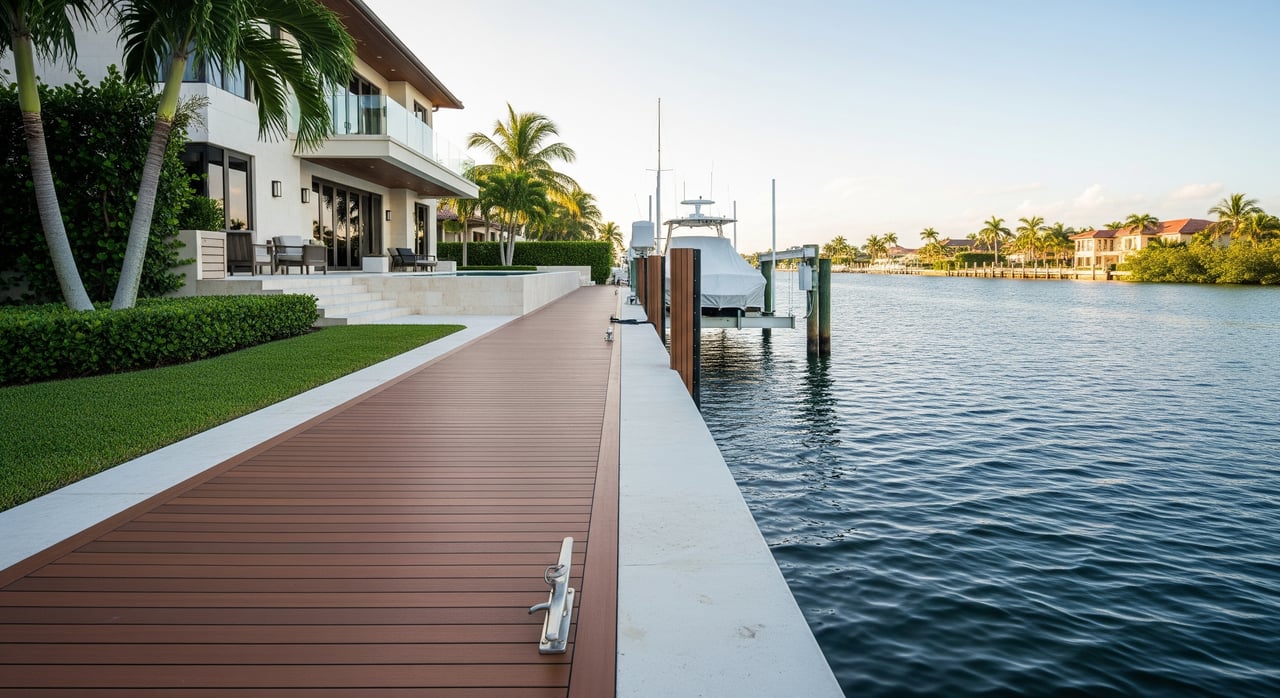
Dock configuration and equipment
- Fixed vs floating: floating docks rise and fall with tides; fixed docks are stationary and require careful fendering and line management.
- Lifts and davits: confirm weight and beam limits on the manufacturer’s plate and assess condition.
- Shore power: verify amperage and plug type, commonly 30A or 50A.
- Cleats and hardware: check quantity, size, and placement.
Seawall and bulkhead
A seawall’s age and condition affect safety, insurability, and potential costs. Replacement or repair can be significant and often needs permits.
Applying terms in Lake Rogers, Blue Inlet and Harbour East
Connectivity and water type
Confirm whether the water body is tidal and how it connects to the Intracoastal or ocean. This affects your depth planning and wake expectations.
- Ask sellers or property managers for the specific route and any known constraints.
Depth and datum at the dock
Ask for the most recent measured depth at the dock and the datum used. Request the measurement date and who performed it.
- If no reliable measurement exists, plan a sounding during low tide as part of your inspection or hire a marine surveyor to document it.
Dredging and siltation
Many area canals can silt in, reducing depth over time. Confirm any dredging history, who is responsible for maintenance, and whether dredging is expected.
- Ask about any special assessments or districts that manage dredging.
Lifts, pilings and side clearance
If a lift is installed, ask to see the plate showing weight and beam limits. If not, measure piling spacing and the distance between pilings to check beam fit.
- Confirm whether modifications are allowed and what permits are required for changes.
Turning room and canal navigation
Evaluate the narrowest points along your route, not just the dock. Ensure you can turn your boat safely without repeated maneuvers.
- Drone or overhead imagery can help you visualize turning basins and cul-de-sacs.
Bridges and air draft
Identify any fixed bridges or structures along the route to the Intracoastal or inlet. Confirm posted clearances and whether they are measured at mean high water.
- Sailboats and towered sportfish vessels should verify heights with extra care.
Wake rules and neighborhood practices
Check posted slow or no-wake zones and typical enforcement. Consider daily boat traffic patterns when assessing potential wake exposure at the dock.
- Ask nearby marina operators about local conditions and any recurring wake issues.
HOA and local permitting
Some communities have rules on maximum vessel length, beam, lifts, and on-site repairs. Confirm recorded covenants and municipal requirements before you go to contract.
- Request copies of relevant rules and any permits on file.
Environmental factors
Look for protected features such as mangroves or submerged vegetation that could limit dredging, new pilings, or lift installation.
- Ask about any environmental conditions flagged in prior permits.
Buyer’s quick checklist
- Dock depth and datum, with measurement date and method.
- Distance in nautical miles to the Intracoastal and ocean inlet; first fixed bridge clearance.
- Dock type and condition; lift presence, rated capacity, and beam limit.
- Shore power details: 30A or 50A, plug type, freshwater and pump-out access.
- Seawall age, inspection records, and any repairs; presence of riprap.
- HOA or municipal rules on boat length, beam, lifts, and work at the dock.
- Any easements or rights of way that affect docking or maneuvering.
Smart questions to ask in due diligence
- Who measured the water depth, when, and using what datum? Can you see the report?
- Who pays for dredging and maintenance? Are there assessments or a dredging district?
- Are there permits on file for the dock, seawall, and lift? Request permit numbers or copies.
- Has a marine or structural professional inspected the dock and seawall in the last 5 years?
- Any prior insurance claims related to dock, seawall, or vessel damage?
- What recorded restrictions exist on vessel length, beam, and horsepower?
- Are there nearby mooring buoys, markers, or no-wake signs?
Red flags that need immediate follow-up
- Depth listed without a datum or measurement date.
- Narrow or shallow channel on charts, with no recent dredging history.
- Lift with unknown capacity or hardware that appears undersized for your vessel.
- Seawall older than 20–30 years with no documented repairs or inspection.
- HOA rules that restrict your vessel size or planned modifications.
- Environmental notes indicating protections that could limit dredging or lift upgrades.
Where to verify facts and get expert help
- NOAA nautical charts and tide predictions for depths, aids to navigation, and tide datums.
- U.S. Army Corps of Engineers, Jacksonville District for channel maintenance and dredging projects.
- Palm Beach County and City of Boca Raton GIS and marine permit offices for recorded permits, easements, and dock structures.
- Florida Department of Environmental Protection and South Florida Water Management District for environmental and dredging permits.
- Florida Fish and Wildlife Conservation Commission for boating regulations and best practices.
- Local marina operators for practical insight on current depths, siltation, wake, and traffic.
- Local marine surveyors and licensed captains for on-site soundings, turning tests, and vessel-berth compatibility.
- Structural engineers for seawall inspection and replacement cost planning.
- Boat insurers for minimum dock standards and storm planning requirements.
Simple planning examples
- Sizing depth for draft: Required depth = boat draft + safety clearance. Add tide effects if your measurement is not at low water.
- Estimating travel time: If the run to your preferred inlet is 3 nautical miles and you cruise at 15 knots, plan about 12 minutes in calm conditions. Adjust for no-wake zones and bridge waits.
How we help you buy with confidence
A waterfront home should work for your lifestyle and your vessel. You deserve clear answers on depth, route, lifts, and permits before you commit. Our team coordinates the details so you can focus on the big picture.
- We source measurement reports, permits, and HOA documents early in the process.
- We arrange marine surveyors, captains, and seawall inspections to validate fit and safety.
- We confirm bridge clearances, turning room, and practical run times for your boating plans.
- We advise on upgrades, lift options, and permitting paths if you need to reconfigure a dock.
If you are considering Lake Rogers, Blue Inlet, or Harbour East, our local insight and white-glove process help you select a property that truly works for your boat and your life. Ready to talk specifics? Connect with the Pink Palm Group at Douglas Elliman Real Estate to schedule a private consultation.
FAQs
What does “depth at dock” mean for Boca waterfront buyers?
- It is the measured water depth at the property. Always ask for the datum, the tide stage, and the measurement date, and confirm with a low-tide sounding if needed.
How do I know if my boat’s beam fits the dock in Lake Rogers?
- Compare your beam to piling spacing and lift beam limits. Request measurements, drawings, or an on-site assessment by a surveyor or captain.
Are there bridge restrictions between Harbour East and the ocean?
- Identify all bridges along your specific route and verify posted vertical clearances at mean high water. Compare to your boat’s air draft with a safety margin.
Who maintains canal depths in Blue Inlet neighborhoods?
- It varies by location. Ask for dredging history, current responsibility, and any assessments in HOA or recorded documents.
How much extra depth do I need beyond my draft?
- Many planing powerboats allow 1–2 feet of safety clearance and larger displacement boats allow 2–4 feet, but confirm with a marine surveyor for your vessel and route.